Drone Surveys
Precision Aerial Mapping & Drone Surveys
When accuracy matters, guesswork isn’t an option. At LevelUp Surveying, we deliver smarter surveying from the ground up. From boundaries to large-scale aerial mapping, we combine trusted surveying expertise with modern drone technology to deliver reliable data across the Sunshine Coast – turning complex sites into clear, actionable insights.
We partner with experienced, licensed drone operators to capture high-resolution aerial data, giving you all the benefits of drone surveys without compromising on quality or accuracy.
End-to-End Drone Survey Solutions
Smarter Surveying. Sharper Data. Better Decisions.
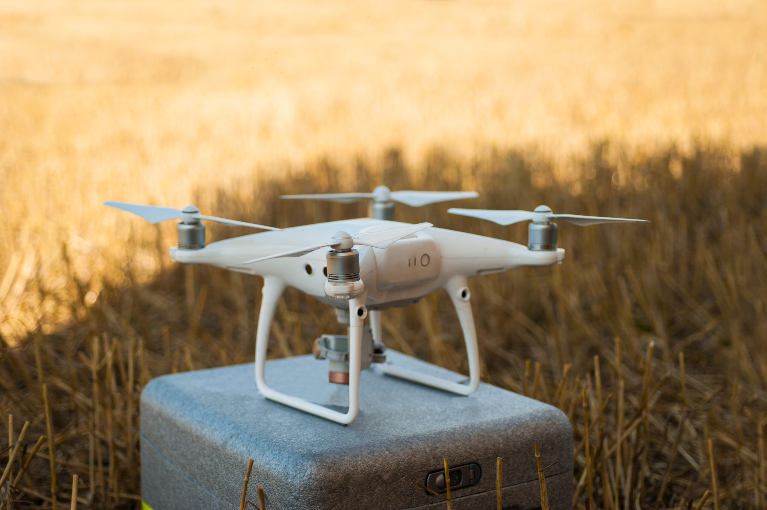
Drone surveying (also called aerial mapping) puts high-resolution cameras and sensors in the sky to capture every detail of your site. Flying lower than satellites or manned aircraft, drones collect faster, sharper, and more accurate data at a fraction of the cost, without the delays or risks of traditional surveys.
Each flight captures thousands of geo-tagged images, which are processed with advanced software to create clear, measurable maps and 3D models. From distances and areas to slopes and volumes, we deliver precision data you can rely on, every time.
Read More
But, drone surveys work best when backed by real surveying expertise. We work alongside licensed drone operators to ensure every survey meets the highest standards. With over 20 years of surveying experience and deep local knowledge, LevelUp Surveying turns aerial data into actionable insights you can trust.
We use professional-grade drones, precision GPS systems and industry-leading software to capture high-resolution aerial data, giving you a complete picture of your site.
- Qualified Surveyors + Drone Specialists on every job
- Modern Drone Technology and industry-leading software
- Clear, Practical Deliverables you can actually use
- Local Sunshine Coast Knowledge of terrain and regulations
- End-to-End Support from capture to final outputs
- Strict Quality Control on every survey
Local Knowledge That Makes a Real Difference
High-Resolution Aerial Data You Can Rely On
Get the Right Data, Every Time
Drone data is powerful, and when you need accurate insights it’s the way to go. Delivering high-resolution, centimetre-accurate data (typically 1–5 cm) drone surveys give you clear, actionable information for smarter decisions, faster project timelines, and safer site management.
Faster Results
Drones capture detailed site data in hours instead of days, reducing project timelines and letting you make informed decisions sooner.
Enhanced Safety
Surveyors don’t need to access dangerous or hard-to-reach areas. Drones safely capture data over cliffs, unstable slopes, rooftops, or active construction zones.
Cost-Effective & Efficient
Drone surveys cover large areas quickly, reducing labour and equipment costs compared to traditional ground surveys.
Superior Data Quality
High-resolution imagery is processed into orthomosaic maps, 3D terrain models, and volumetric calculations, providing precise measurements of distances, areas, slopes, and volumes.
Reduced Site Disruption
Operating from the air minimises interference with ongoing work. Drone surveys can run above active construction zones or operational sites.
Comprehensive Data Collection
A single drone flight captures thousands of images and multiple data types, supporting volumetric analysis, progress tracking, and environmental assessments without repeated site visits.
Comprehensive Drone Mapping Services
Get The Insights You Need
Aerial Mapping & Photogrammetry
Transform aerial imagery into measurable maps. Orthomosaic mapping provides true-to-scale site overviews for planning, design, and development.
3D Modelling & Terrain Analysis
See your site in full detail before work begins. 3D terrain models reveal elevations, slopes, and surface features for precise planning.
Volumetric Surveys & Stockpile Measurement
Accurate volumes for earthworks, excavations, and stockpiles help you manage materials, costs, and timelines efficiently.
Our Drone Mapping Process
01. Understanding Your Needs
Every project starts with a conversation. We take the time to understand your goals, site requirements, and project challenges so we can design a customised drone survey that delivers exactly what you need.
02. Site Assessment & Aerial Data Capture
Using professional drones and precision GPS technology, high-resolution imagery and sensor data is captured from your site. This stage ensures every detail is recorded with precision
03. Data Processing & Analysis
The captured data is processed with advanced photogrammetry software. This transforms raw aerial data into actionable insights for planning, design, or progress tracking.
04. Clear Reports & Deliverables
We deliver easy-to-understand, professional survey reports that summarise findings, measurements, and models for the clarity and confidence needed to make informed decisions.
Frequently asked questions
Got a question? We’ve got it covered.
What’s the difference between drone surveys and traditional land surveys?
Drone surveys capture aerial imagery from above, making them ideal for large sites, challenging terrain, or projects that need a full visual overview. Traditional land surveys use ground-based instruments to map precise boundaries and measurements. We often combine both methods to deliver complete, accurate surveying solutions.
How accurate are drone survey measurements?
Our drone surveys typically achieve 2–5 centimetre accuracy, depending on site conditions and project requirements. This is sufficient for most planning, design, and construction purposes. For projects that require even higher precision, we can integrate ground control points to enhance accuracy.
What weather conditions affect drone surveying?
Drone flights require suitable weather, including low wind (under 10 m/s), good visibility, and no rain. We closely monitor conditions and will reschedule flights if necessary to ensure safe, reliable data collection.
How long does a drone survey take?
Flight time depends on site size and complexity. Most residential and small commercial sites can be surveyed in a few hours, with data processing and deliverable preparation taking several business days, depending on the project scope.
Can drone surveys be used for construction monitoring?
Yes! Regular drone surveys during construction provide progress documentation, early issue detection, and permanent records of each project phase. This supports project management and can be invaluable for reporting, planning, and dispute resolution.